


Dispatches from the AMC 150 Relay: One Month In
I have a very normal job… I am following the volunteers of AMC’s 150th Anniversary Relay as they hike, bike, and paddle their way from Virginia to Maine, a journey that is over 2,000 miles….
Read More

I have a very normal job… I am following the volunteers of AMC’s 150th Anniversary Relay as they hike, bike, and paddle their way from Virginia to Maine, a journey that is over 2,000 miles....
Read more
I have a very normal job… I am following the volunteers of AMC’s 150th Anniversary Relay as they hike, bike, and paddle their way from Virginia to Maine, a journey that is over 2,000 miles….
Read More

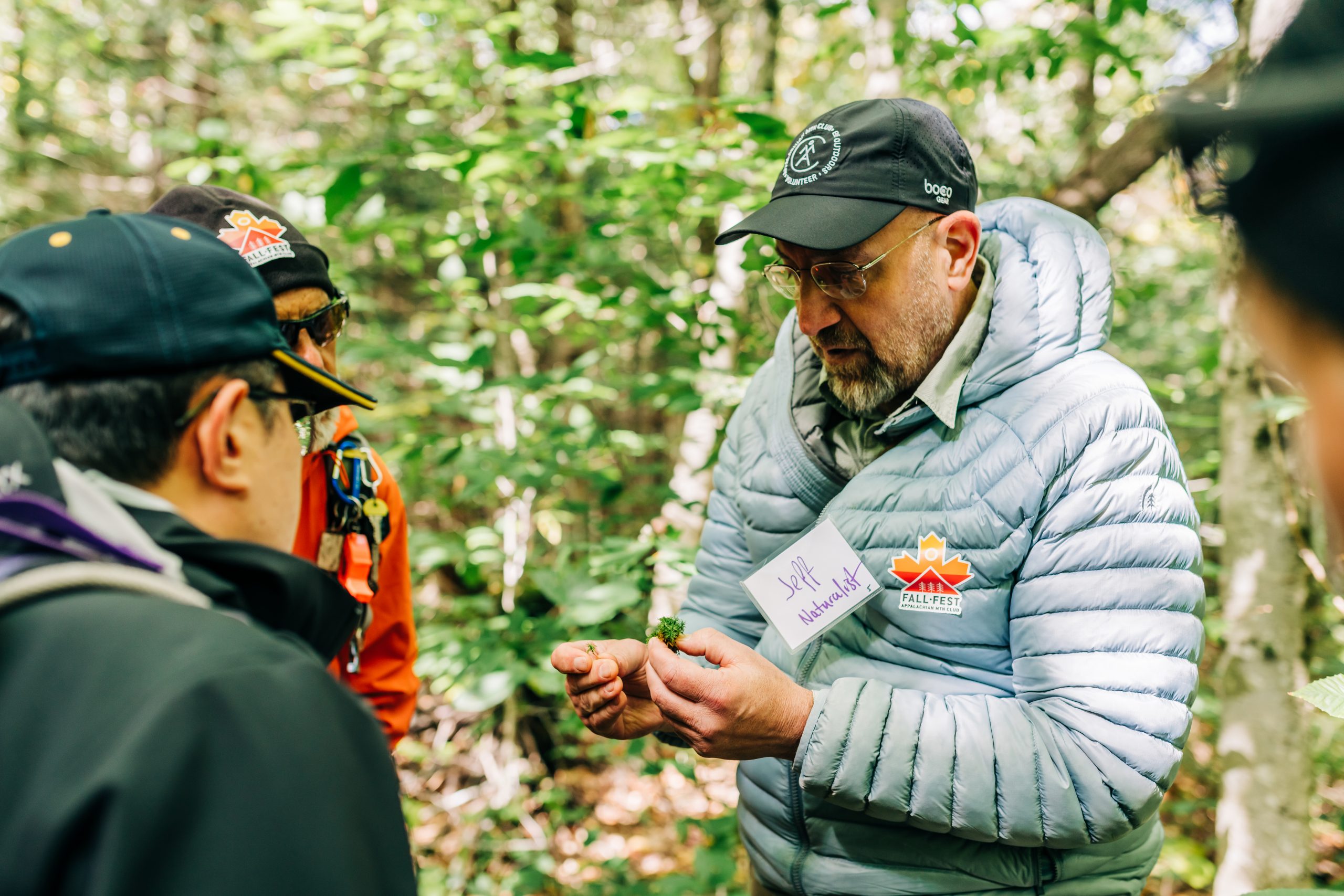
On April 10th, more than 120 high school students from across northern Vermont, New Hampshire, and Maine gathered at the Highland Center for the Appalachian Mountain Club’s inaugural Youth Climate Summit. The event included a…
Read More

For 150 years, the Appalachian Mountain Club has worked to protect and connect people with the outdoors. Now, Massachusetts has a rare opportunity to build on that legacy by securing lasting funding to protect the…
Read More

If you’re planning an overnight trip into New Hampshire’s Pemigewasset (Pemi) Wilderness, there’s an important update to keep in mind before you head out. Beginning May 1, 2026, all overnight visitors will be required to…
Read More
There’s a moment I come back to again and again: the end of a day outside. Boots off, shoulders a little sore, the kind of tired that only comes from moving through the woods or…
Read More
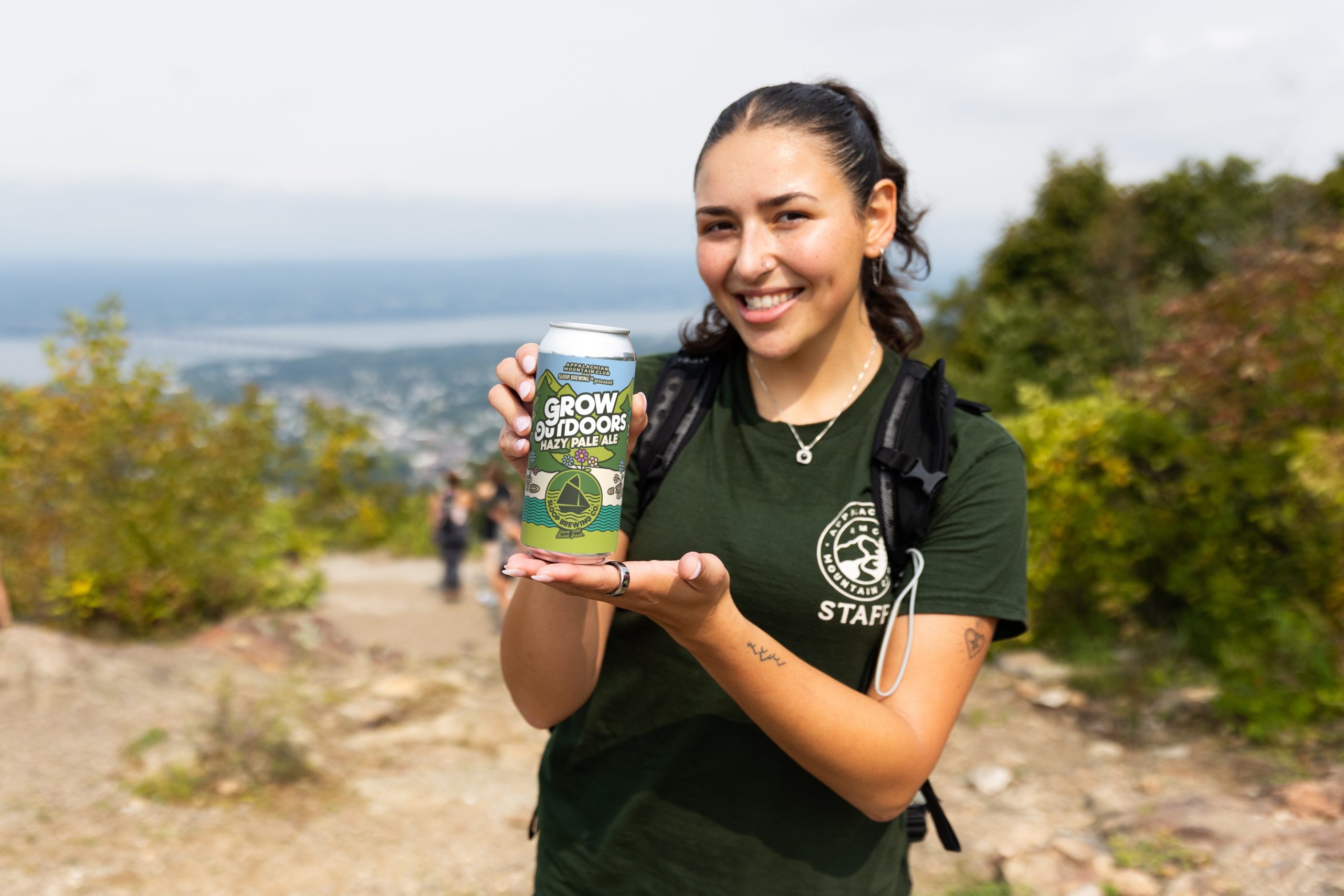
There’s no one “right” way to volunteer with AMC—just the one that fits you. Getting involved can look a lot of different ways: maintaining and repairing public trails, leading trips, sharing your expertise, speaking up for conservation, or contributing to community science. Hands-on…
Read More
We’ve all experienced it before. You show up at a park ready for a day outside, only to find out-of-service water fountains at the visitor center, faded signage making it hard to track your progress on a trail, or dilapidated picnic…
Read More
Jean Camuso’s connection to AMC’s High Mountain Huts started over 40 years ago, when she took her two young sons on a hike to Lonesome Lake. From early adventures (including a memorable mid-trail “strike” that was swiftly resolved with peanut…
Read More
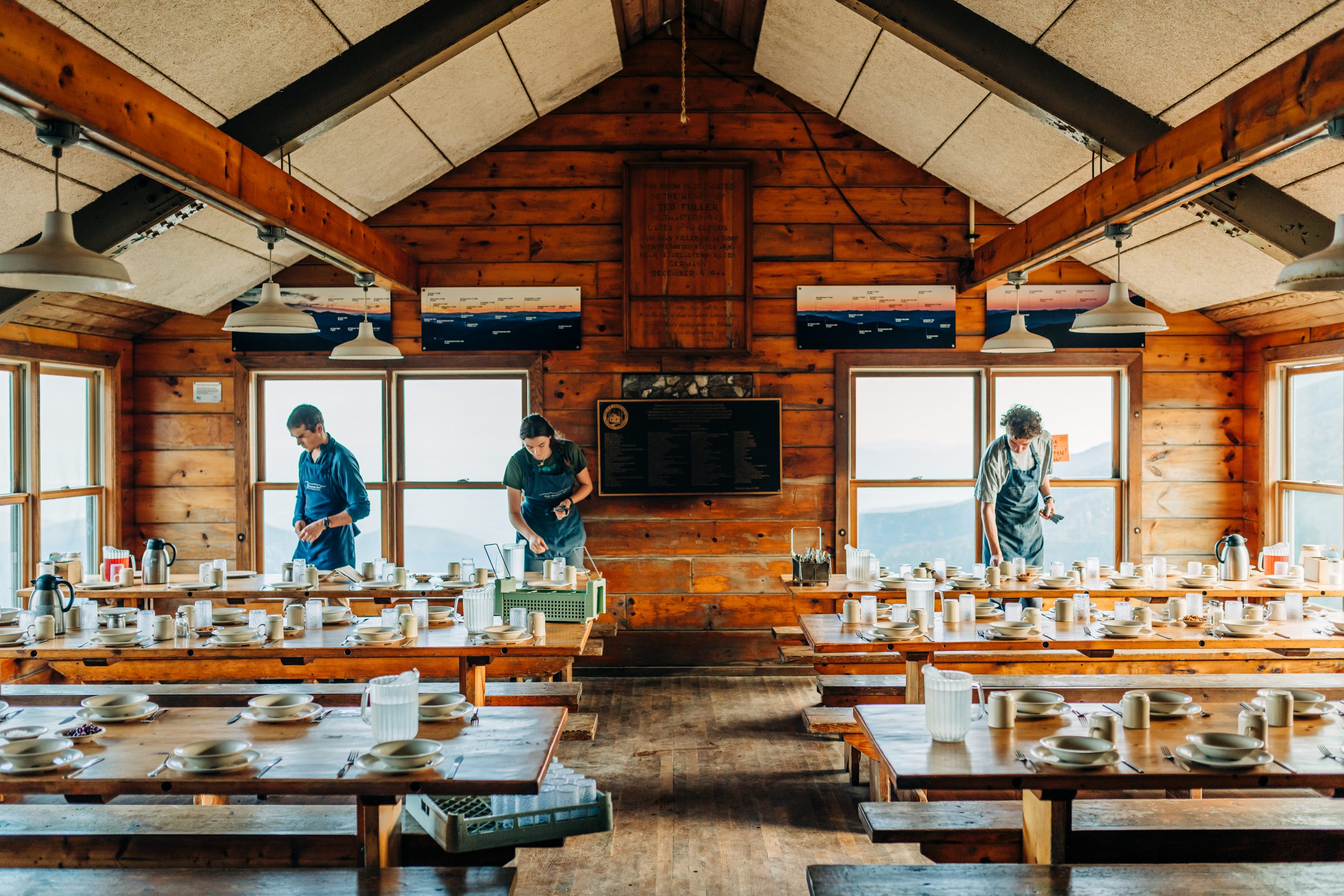
It’s my first time at an AMC High Mountain Hut and I’m standing in the middle of Lakes of the Clouds dining hall, soaking it all in: the sweeping views of the White Mountains, the bright wooden…
Read More