Looking for the best spring hikes in the Northeast, but don’t know where to start? We recently asked the AMC community what mountain they were most eager to hike when spring arrives. Their answers covered a wide range, from close-to-home day hikes to ambitious backcountry excursions. Here are eight of their favorite spring hikes.
Make your hike an overnight and book a stay at an AMC Destination this year!
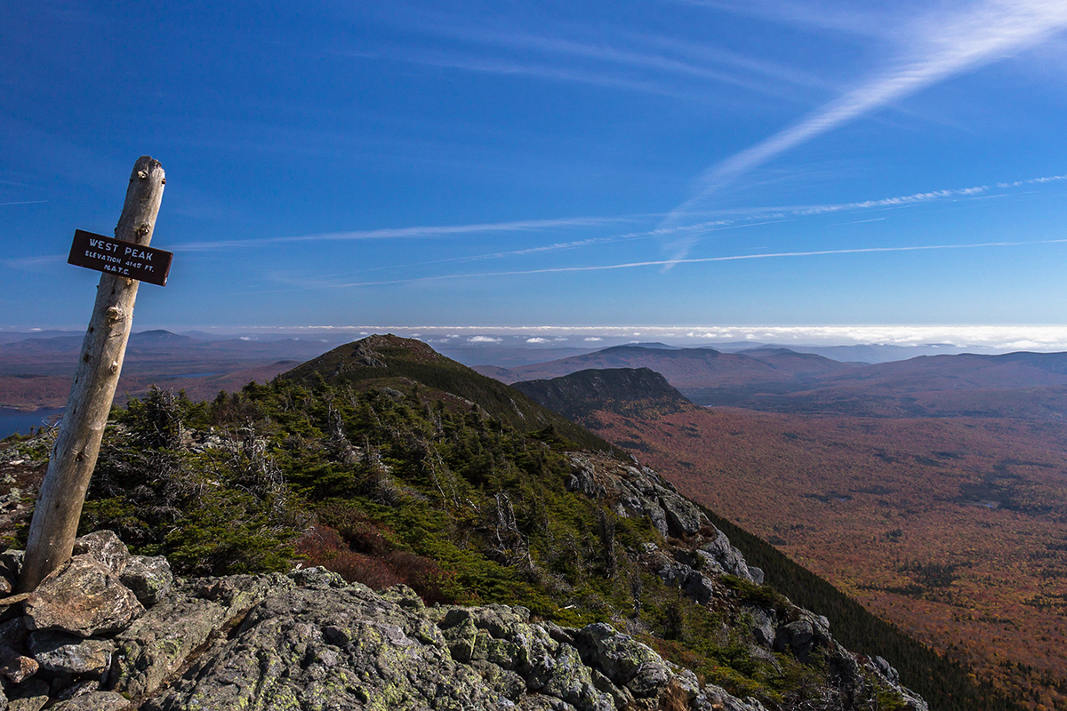

The view from the West Peak of Bigelow Mountain (Rangeley-Stratton Range) provides sweeping views of the surrounding valley.
West and Avery Peaks | Bigelow Preserve Public Reserved Land, Maine
The Bigelow Range, which bisects the 36,000-acre Bigelow Preserve, provides dramatic views north to Baxter State Park and south to Sugarloaf. There are several routes into the Bigelow Range, but one of the most direct is the Fire Warden’s Trail. It ascends from Stratton Brook Pond Road to the Appalachian Trail, emerging on a col between West Peak and Avery Peak. The climb is steep, but hikers are soon rewarded by views from the ridge. Follow the trail to the right for 0.4 mile to reach Avery (4,088 ft.). A 0.3-mile detour in the other direction will bring you to West Peak (4,145 ft.).
Distance:10.2 miles round-trip
Info: Maine Mountain Guide
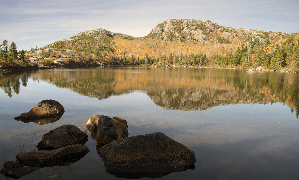

Explore Tumbledown Pond after summiting the mountain of the same name.
Tumbledown Mountain | Weld, Maine
The 10,000-acre Tumbledown Public Reserved Land is home to several dramatic peaks and miles of trails. Take the blue-blazed Loop Trail from Byron Road and ascend—gradually at first then a steep scramble—1.9 miles to the Tumbledown Ridge Trail. A 0.1-mile jaunt west takes you to the western summit of Tumbledown Mountain, then head the other direction on the Tumbledown Mountain Trail to reach the east summit and, after about 1 mile, Tumbledown Pond. Return to the Loop Trail via the Tumbledown Ridge Trail. Highlights include dramatic 700-foot cliffs, caves, and panoramic views from the open summits. Take the Pond Link and Little Jackson trails to extend your hike to neighboring Little Jackson Mountain.
Distance: 5.5 miles round-trip
Info: Maine Mountain Guide; maine.gov
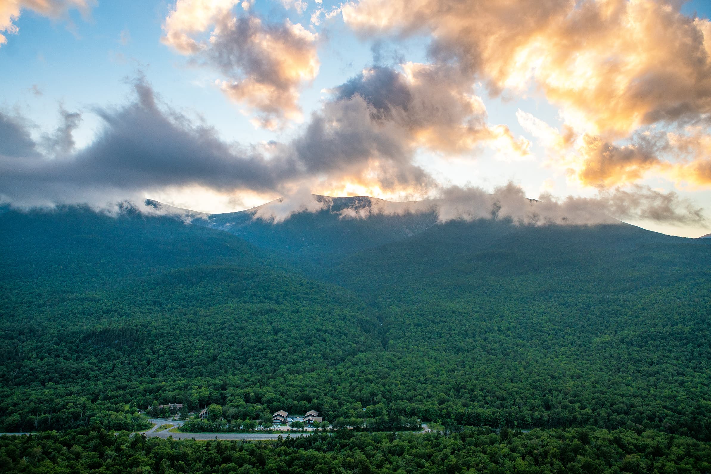

Square Ledge offers a big payoff for such a short hike, with one of the best views of Pinkham Notch.
Square Ledge | Pinkham Notch, N.H.
A relatively short yet steep climb from Pinkham Notch brings you to the outcropping of Square Ledge. The viewpoint looks toward a picture-perfect view of Mount Washington and its surrounding peaks that’s sure to attract photographers of all levels. Start at Lost Pond Trail, just across from Pinkham Notch Visitor Center, and cross the bridge, then turn left to follow the blue blazes 0.5 mile as you moderately climb to the lookout point. Approximately 0.25 mile up you’ll cross under Hangover Rock before continuing along switchbacks to the ledge. The final stretch of the climb is steep and rocky, so watch your footing and keep an eye out for late season ice—the trail brings you behind the rock before turning back over the ledge. Take time to enjoy the views before returning the way you came
Distance: 1 mile out and back
Info: White Mountain Guide
Square Ledge is a popular hike at sunrise or sunset and across the street from Pinkham Notch Visitor Center. Book your stay today!
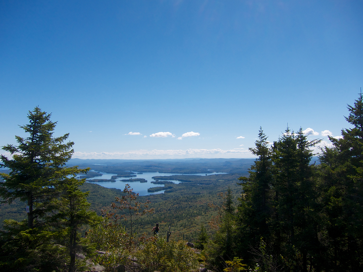

The view from Mount Morgan in New Hampshire offers stunning panoramic of the lakes region.
Mount Morgan and Mount Percival Loop | Holderness, N.H.
This popular loop hike begins on Route 113, north of Holderness, N.H. Follow the Mount Morgan Trail for 1.7 miles to its merge with the Crawford-Ridgepole Trail; they lead to the summit of Mount Morgan via a series of ladders and a scramble through a cave. Enjoy the cliff-top view before continuing along the ridge to Mount Percival (0.8 mile away). Views here extend over nearby Squam Lake. Descend via the Mount Percival Trail and return to the base of the Mount Morgan Trail via the Morse Trail.
Distance: 5.4-mileloop
Info: White Mountain Guide; squamlakes.org/map
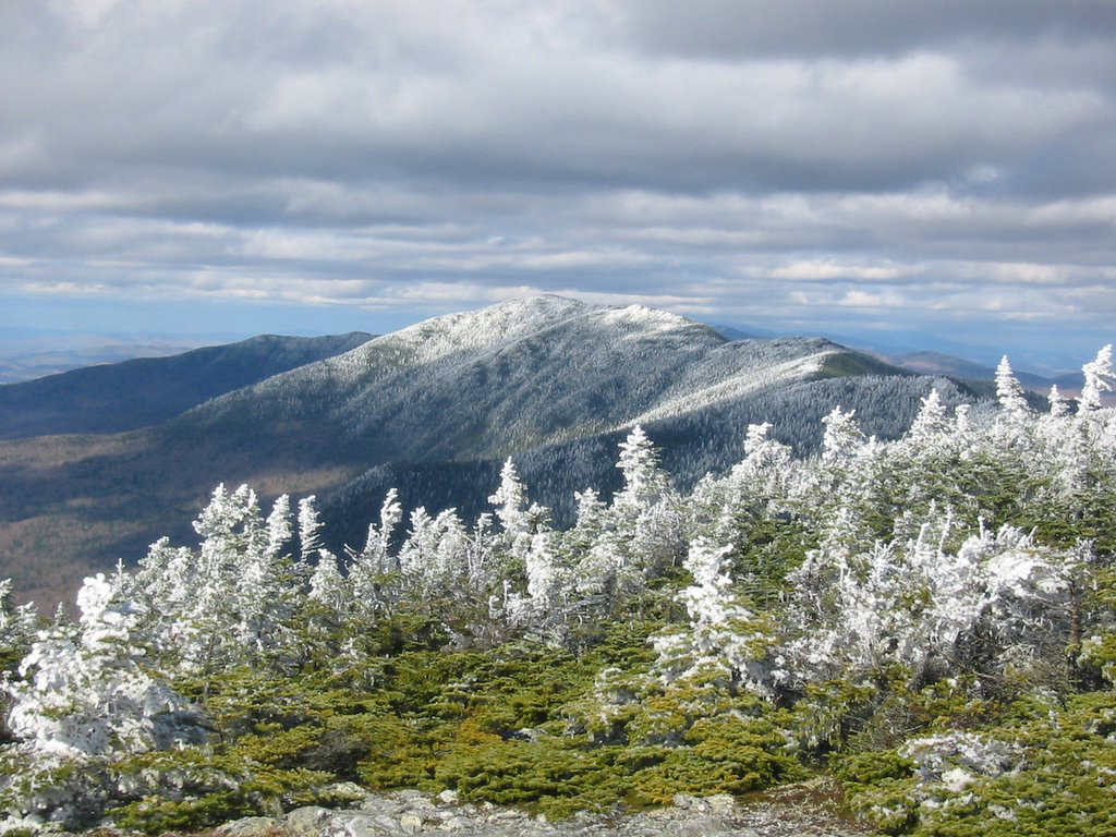

Mount Abraham is one of Vermont’s 4,000-footers, and a great late spring hike to challenge yourself.
Mount Abraham | Lincoln, Vt.
Vermont’s Long Trail provides access to peaks across the Green Mountains. Join the white-blazed trail from the parking area on Lincoln Gap Road and follow it north. You’ll pass the Green Mountain Club’s Battell Shelter at 1.8 miles. A half-mile later you’ll enter the alpine zone. Views across the Breadloaf Wilderness will accompany you to the summit. At 4,006 feet, Mount Abraham is Vermont’s fifth-tallest mountain. On a clear day, you can see to Lake Champlain and the Adirondacks from the summit. Descend via the same route.
Distance: 5.2 miles round-trip
Info: greenmountainclub.org; AMC’s Best Day Hikes in Vermont
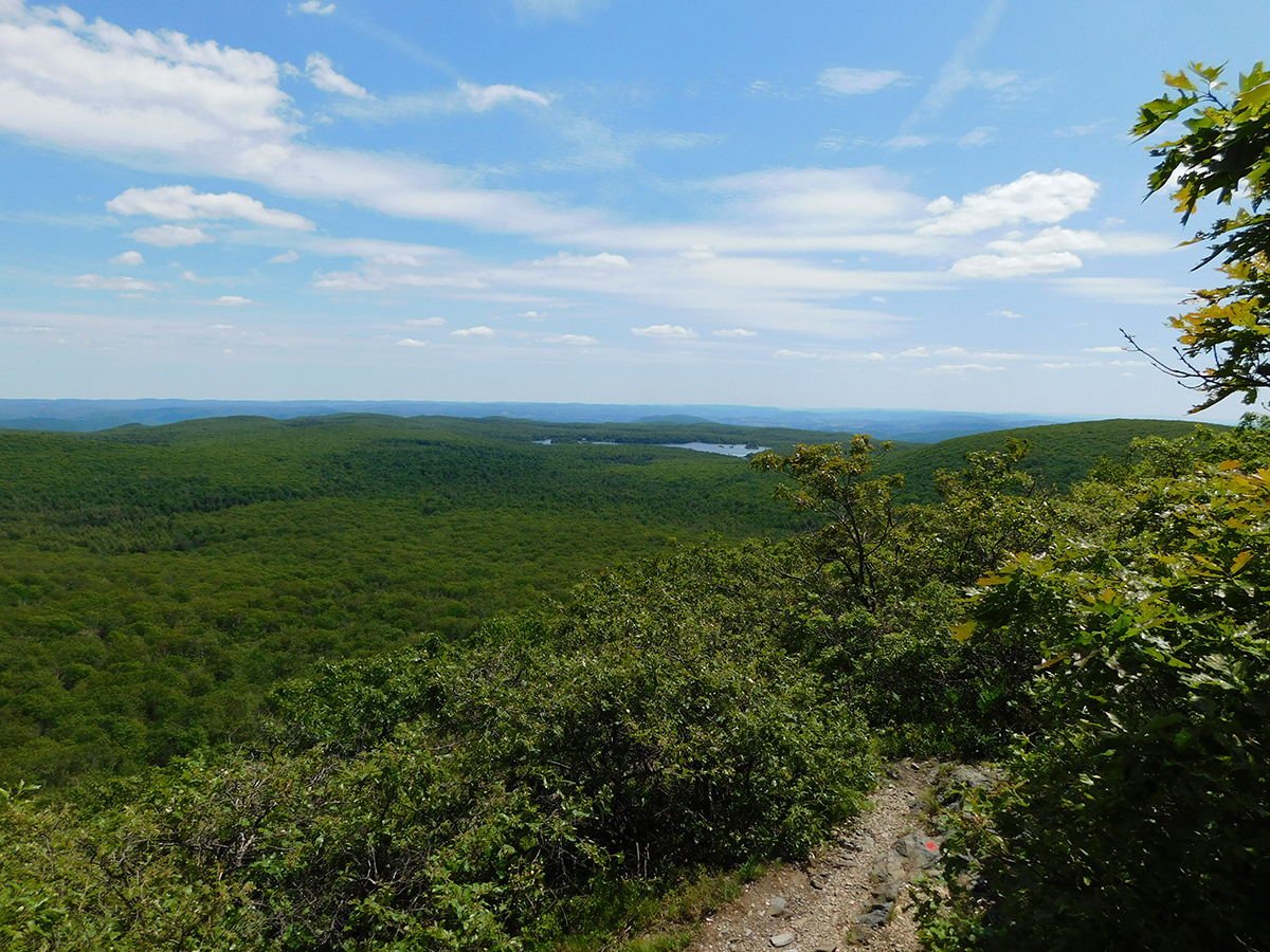

While Mount Frissell’s summit is in Massachusetts, it is also home to Connecticut’s highest point, just over the border.
Tri-State Peaks | Taconic State Park, N.Y.
Hit three states in one day. This loop can be accessed from trailheads in Connecticut and Massachusetts, but the shortest route starts in New York, at the Robert Brook Trail on Under Mountain Road. Hike in to the South Taconic Trail and turn left. The Alander Loop Trail (over 2,239-foot Alander Mountain), Alander Mountain Trail, and Ashley Hill Trail will lead you through Mount Washington State Forest. At the Mount Frissell Trail junction take a detour to the left to hit the tri-state marker, Connecticut’s highest point, and the summit of Mount Frissell (2,453 ft.). Backtrack and continue to the South Taconic Trail junction. A short detour will take you up Brace Mountain (2,311 ft.), then follow the South Taconic Trail north to complete the loop.
Distance: 12.7-mile loop
Info: Massachusetts Trail Guide
AMC’s Northwest Camp is just down the road from the trailhead to Mount Frissell. After your hike you can also head to AMC’s Noble View Outdoor Center for a full lodge experience.


On a clear day, you can catch a glimpse of the NYC skyline from Bearfort Mountain.
Bearfort Mountain | West Milford, N.J.
Nestled along the New York–New Jersey border, next to Greenwood Lake, Bearfort Mountain is a relatively short hike with big payoffs—including dramatic cliffs and views across the water to nearby Sterling Forest. Begin on the State Line Trail. At 0.8 mile, turn left onto the Ernest Walter Trail and follow the yellow blazes. Soon you’ll emerge on the ridge, with dramatic views of the lake below (be careful with your footing here). The trail follows a counter-clockwise loop past two glacial tarns and across some steep, rocky terrain. Go right at the junction with the Appalachian Trail, and then reconnect to the State Line Trail shortly after that, for your descent.
Distance: 4.3 miles round-trip
Info: nynjtc.org