


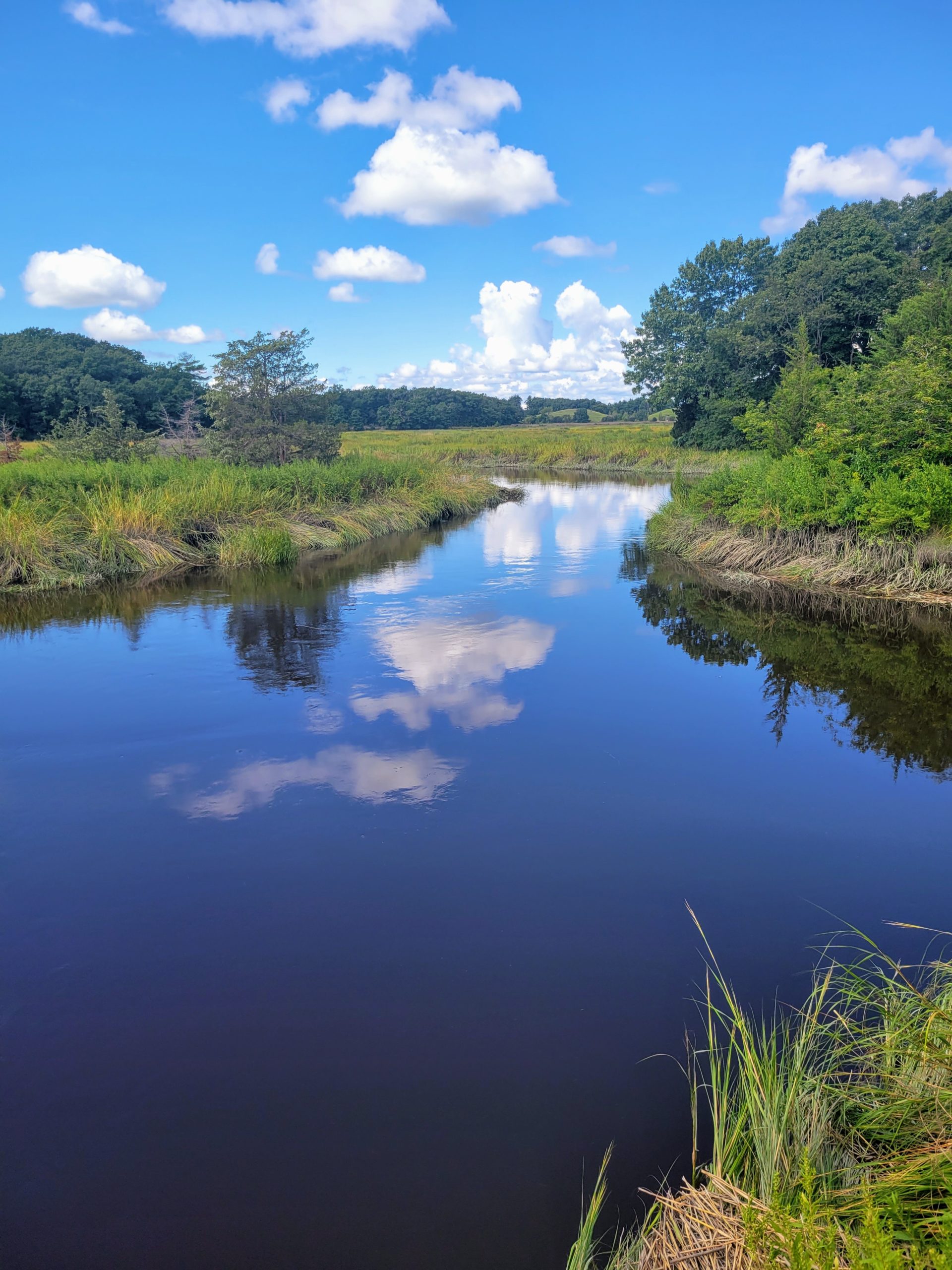
Overlooking the Little River at the Newbury Salt Marsh in Newbury
During early fall in 2021, I set out on a record-setting end-to-end “thru-hike” of the Bay Circuit Trail (BCT). I completed the 230 mile trail northbound between August 28th and September 3rd, 2021, for a total of 6 days, 7 hours and 7 minutes, which marks the current Fastest Known Time for a self-supported thru-hike of the Bay Circuit Trail.
The trail has its charms and challenges, which requires some logistical considerations of tackling the BCT, so I’ve put together some tips to help make other hikers’ attempts successful. My hope is that some of you reading this will either take your first hike on the BCT, consider an overnight trip, or maybe even hike the entire BCT in the future.
Navigation
Download a BCT Trail Map and the corresponding narrative for whichever section(s) you plan to hike. These are static PDF documents that you can use with your compass and can cross check with your GPS. While cell reception was relatively strong during my hike, I don’t advise relying solely on that to get you through the trail. Print maps are the most reliable option.
The trail is marked with a mix of white blazes and BCT trail markers. There are some sections that have less markers than others though, so consult your map often to ensure you stay on track.
Food
Finding food along the Bay Circuit Trail is easier than on other long-distance trails as you occasionally walk near stores and restaurants. I never carried more than a day’s worth of food since I hiked far enough to run into a town every day. You will want to carry more if you’re hiking shorter days, or if you don’t want to rely on finding adequate resupply options. Otherwise, a little research before you head out on your hike will show some good options.
Water
Gaining access to drinkable water can be a concern on the BCT. You will need to get creative. First and foremost, consider bringing a water filtration system along with you. I carried the Sawyer Squeeze and I found it met my needs well. When filtering your water, think about where it is coming from—is the stream likely to contain runoff from a nearby road, or did it come from a beaver pond? If water comes from a questionable source, there is a higher likelihood you will be exposed to contaminated water.
Beyond filtering your own water from natural water sources, you will run into public bathrooms, sports fields, and other places where you may be able to get water. Buying water from stores along the way is always an option, but I highly recommend you don’t rely on buying drinks as your only method for staying hydrated.
Sleeping Arrangements
There are not many public camping options along the trail. Instead, you will need to rely on the BCT’s Interactive Map to find camping locations and hotels near the trail. Get familiar with your options ahead of time and plan a rough mileage schedule so you have an idea of how far you need to go to get to wherever you’re staying.
Accessibility Via Public Transportation
Depending on where you live, you may not need a car to get to the terminus. I took the MBTA Commuter Rail to Kingston and walked to the Southern Terminus of the BCT, which was just over a three-mile walk. Once I reached the Northern Terminus in Newburyport, I took a Lyft to the Newburyport MBTA Commuter Rail Station and the commuter rail back to my home in Salem.
Additionally, the trail runs directly past the MBTA Commuter Rail stop in Lincoln and runs near the Lowell MBTA Commuter Rail Station. I haven’t looked into MBTA bus accessibility but I’m sure it’s there.